Video of the route
Description of the route
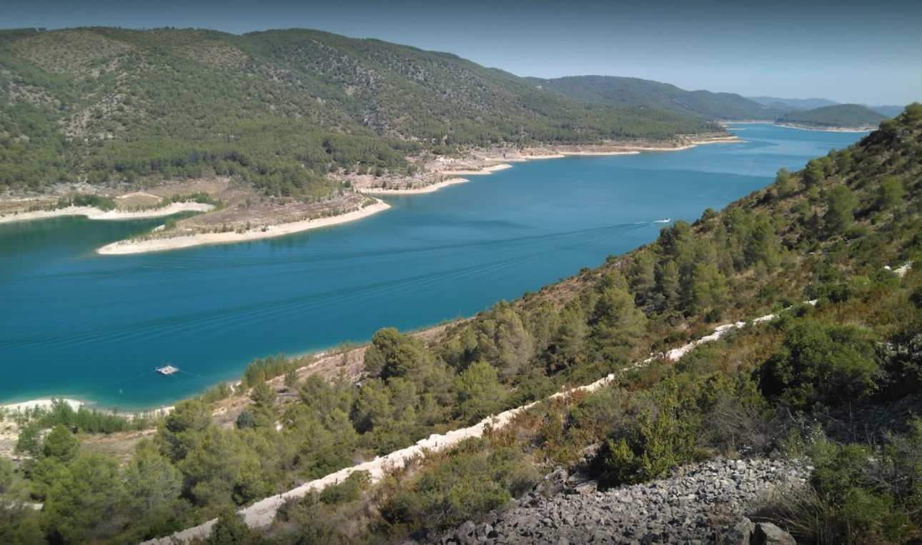
The route starts in Sacedón, right outside the Tourist Information Office. The route begins on a bumpy but usable path until we cross the CM-2000 for the second time, first through a tunnel and then a second time by road. A road that will take you more than 250 metres uphill, with inclines of more than 20% and almost 8 km of route. When you reach the highest part of the route you will be able to enjoy the views of the Bolarque Reservoir and Anguix Castle.
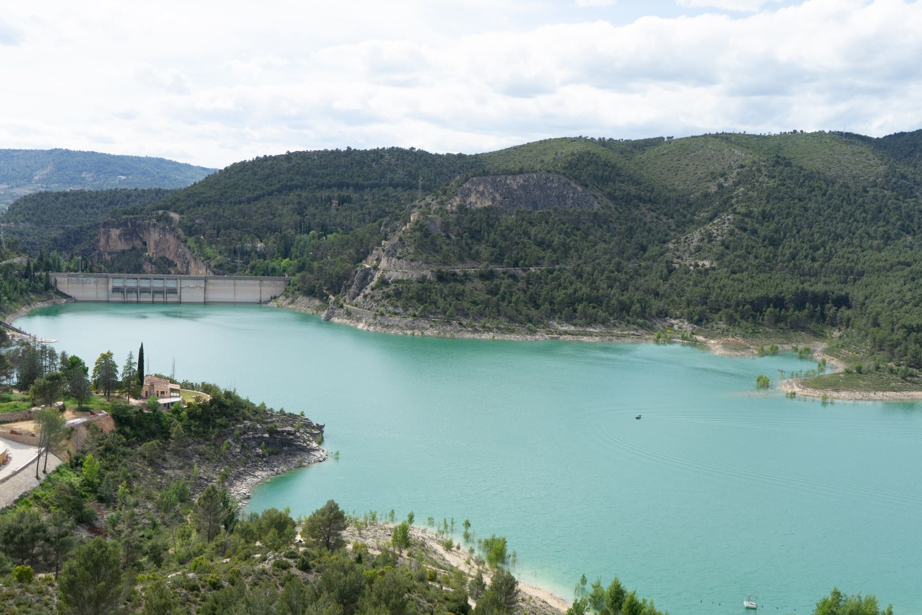
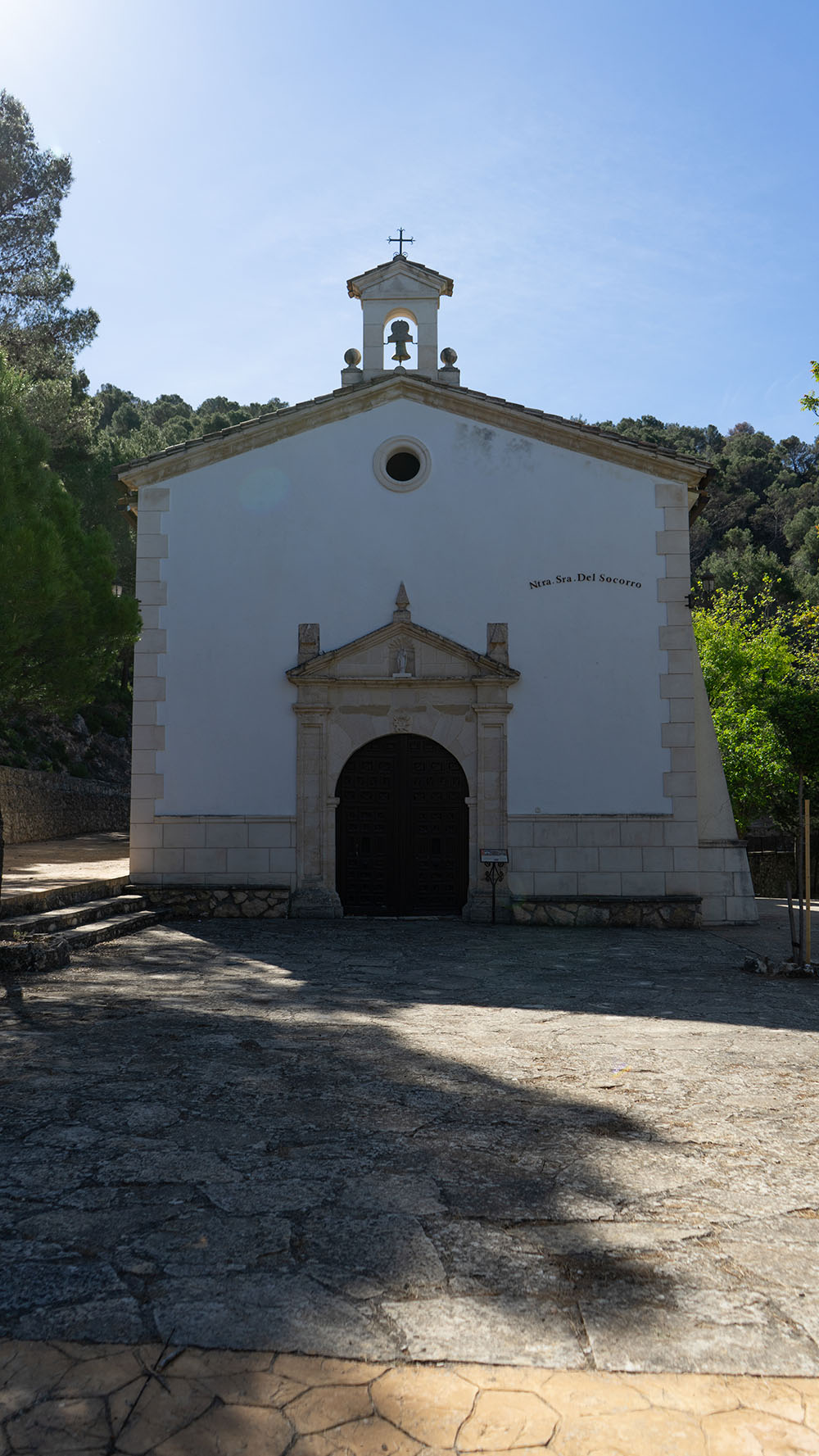
Continue on the track along the mountain ridge until you reach the path where the aerials are. There is a small incline up to take a path that brings you to the Shrine of Our Lady of Perpetual Help. The route now takes you back to the first main path which is an easy and pleasant cruise, and has spectacular views of the Entrepeñas dam. After a nice ride down the path you will reach the old N-320 road that takes you back to Sacedón via the Alto de San Julián where you will take a small path that leads to the red path back to the village.
Things to see as you ride

Map of the route
Download the route
You can follow the route using your phone’s GPS. You will need a special application to open the GPX file.
Description of the route
Marked route
Distance, duration and grade
Difficulty
Type of terrain
- Track 78%
- Path 20%
- Road 2%
Connections with other routes in Sacedón
Enlaces de interés
Other places in the area
¡Make the best use of your visit!
Monsalud Monastery
One of the clearest and most beautiful examples of the presence of the Cistercian order in the Iberian Peninsula.
Roman Bridge
Built in 1461, it crosses the Tagus River and connects the municipal districts of Auñón and Sacedón.
La Isabela Settlement
Ruins of an old spa, which then became a psychiatric hospital. These ruins were submerged, but are now above water again.