Video of the route
Description of the route
This route takes you along the right bank of the Entrepeñas reservoir, and covers some lively paths with several downward slides until it reaches the Las Brisas housing development. It then takes you along different paths and tracks until you reach the Peñalagos housing development. Carry on amongst the pines and the sands until you get to the Pareja diversion dam. There, just before the diversion dam you will start getting ready to climb the famous Mordor slope. Its name is fitting as there are sections with a 20% grade on a fairly technical path.
Once you reach the top you will travel along the entire crest of the mountain where there is a spectacular view of the reservoir, until you reach the cartero path to go back to Sacedón.
Things to see as you ride
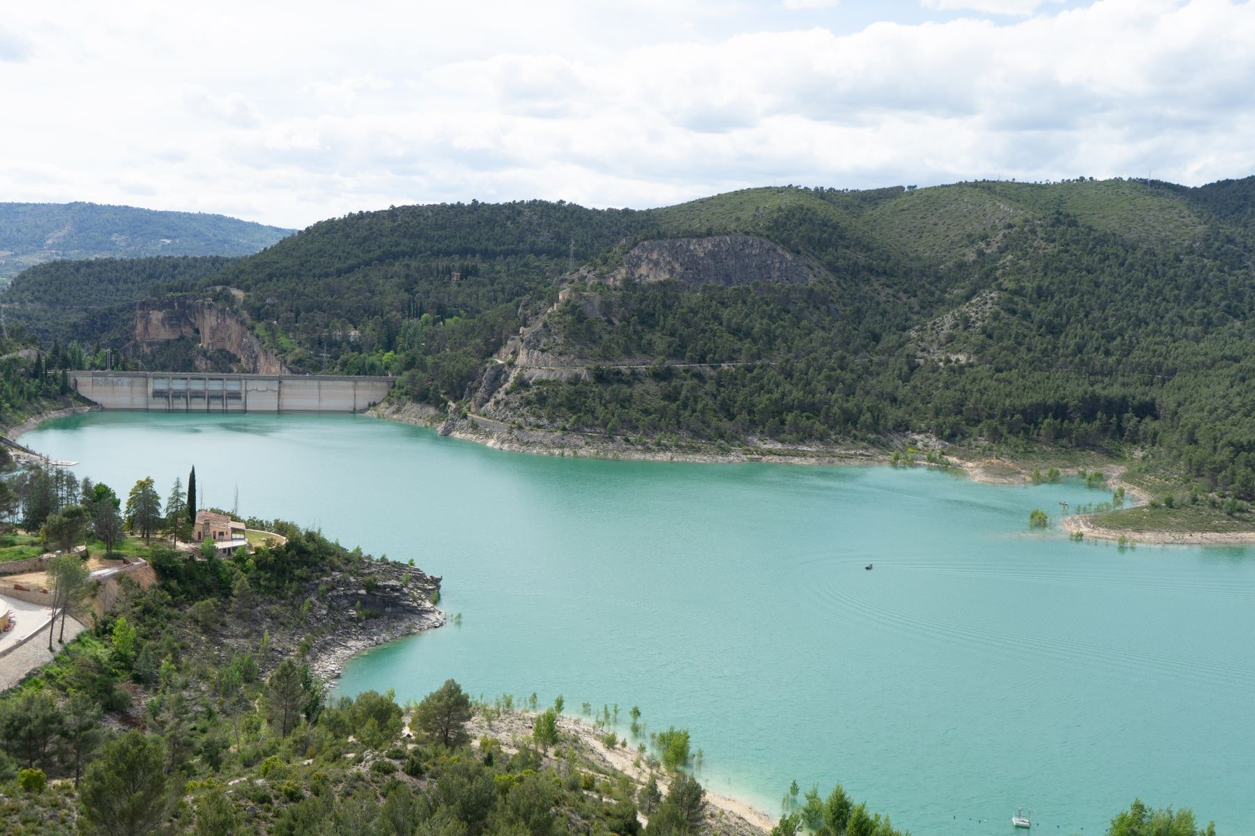

Pareja diversion dam
Map of the route
Download the route
You can follow the route using your phone’s GPS. You will need a special application to open the GPX file.
Description of the route
Marked route
Distance, duration and grade
Difficulty
Type of terrain
- Track 55%
- Path 45%
- Road 0%
Enlaces de interés
Other places in the area
¡Make the best use of your visit!
Monsalud Monastery
One of the clearest and most beautiful examples of the presence of the Cistercian order in the Iberian Peninsula.
Roman Bridge
Built in 1461, it crosses the Tagus River and connects the municipal districts of Auñón and Sacedón.
La Isabela Settlement
Ruins of an old spa, which then became a psychiatric hospital. These ruins were submerged, but are now above water again.